From Shadows to Clarity: The Science Behind Lidar’s Laser Precision
Okay, so let’s dive into the cool stuff: Lidar. It sounds all sci-fi and fancy, right? But trust me, it’s not as complicated as it seems. At its core, Lidar—short for Light Detection and Ranging—uses lasers to measure distances. Yep, lasers! Like the ones in those action movies, just way less dramatic (no villains here, I promise).
So how does this magic happen? Picture this: a laser beam shoots out from a Lidar sensor, hits an object, and bounces back. The sensor then calculates how long it took for that light to return. It’s kinda like someone yelling “Marco!” and waiting for “Polo!” to come back. By measuring the time it takes for the light to return, Lidar can create a super accurate 3D map of whatever it’s scanning. Mind-blowing, right?
Now, let’s talk about precision. This technology can detect objects down to a few centimeters. Imagine you’re trying to find your car keys in a messy room (we’ve all been there). A Lidar sensor would be like a super-intelligent friend who could spot them in seconds. It’s that precise! This level of accuracy is what makes Lidar a game-changer in industries ranging from self-driving cars to environmental monitoring.
- Self-Driving Cars: They use Lidar to navigate safely. It’s like having a superpower that helps them “see” their surroundings in 3D.
- Agriculture: Farmers can map their fields and analyze crop health. No more guesswork—just smart farming!
- Forestry: Lidar helps in managing forests by providing detailed data about tree heights and canopy structures. Goodbye, guesswork!
But here’s the kicker—Lidar can even see through vegetation. Yep, it’s like having X-ray vision for scanning forests! This feature helps scientists understand ecosystems better. They can study the ground without all those pesky leaves getting in the way. It’s like getting a backstage pass to nature’s concert.
In short, Lidar is transforming industries by turning shadows into clarity. It’s an exciting time to be alive when technology is making our lives easier and more efficient. Just imagine what’s next! Maybe a Lidar robot that can help you find your keys? (Okay, that one might be a stretch, but one can dream!)
Mapping the Unimaginable: Lidar’s Role in Urban Planning and Infrastructure
So, let’s chat about Lidar for a sec. You might’ve heard of it—this fancy tech that’s shaking up how we think about urban planning and infrastructure. Seriously, it’s like giving city planners a superpower. Instead of relying on old-school maps and guesswork, they can use Lidar to create super detailed, 3D models of the world around us. It’s like having Google Earth on steroids, but without the crazy side effects.
Now, here’s the cool part: Lidar can gather data from above, using lasers to measure distances. It’s not just about seeing where the buildings are or how wide the roads are—it goes way deeper than that. Imagine being able to analyze vegetation, assess flood risks, or even understand how light hits various surfaces in the city. All of this data can help planners make better decisions about where to build, how to build, and what to build. I mean, who wouldn’t want to live in a city that’s designed based on solid data rather than just someone’s hunch?
- Improving Infrastructure: Lidar helps identify areas where infrastructure is crumbling. You know, like those potholes that feel like they’re trying to swallow your car whole. With Lidar, cities can prioritize repairs and avoid those awkward “oops, we didn’t see that coming” moments.
- Smart Growth: As cities grow, they often face the challenge of balancing expansion with sustainability. Lidar tech can help planners visualize land use and make smarter choices that consider the environment. Who knew saving the planet could start with a laser?
- Public Safety: Understanding the lay of the land can be a game changer for emergency services. Lidar can map out areas prone to natural disasters, helping teams prepare and respond more effectively. It’s like giving them a cheat sheet for when things go south.
In a nutshell, Lidar isn’t just a buzzword; it’s changing the way we envision our cities. It’s like giving urban planners a crystal ball—not that they can see the future, but they can sure make more informed decisions about it. As we continue to embrace this tech, who knows what other urban mysteries we’ll unlock? I mean, maybe one day they’ll use it to finally figure out the best route to avoid traffic on my daily commute. A girl can dream, right?
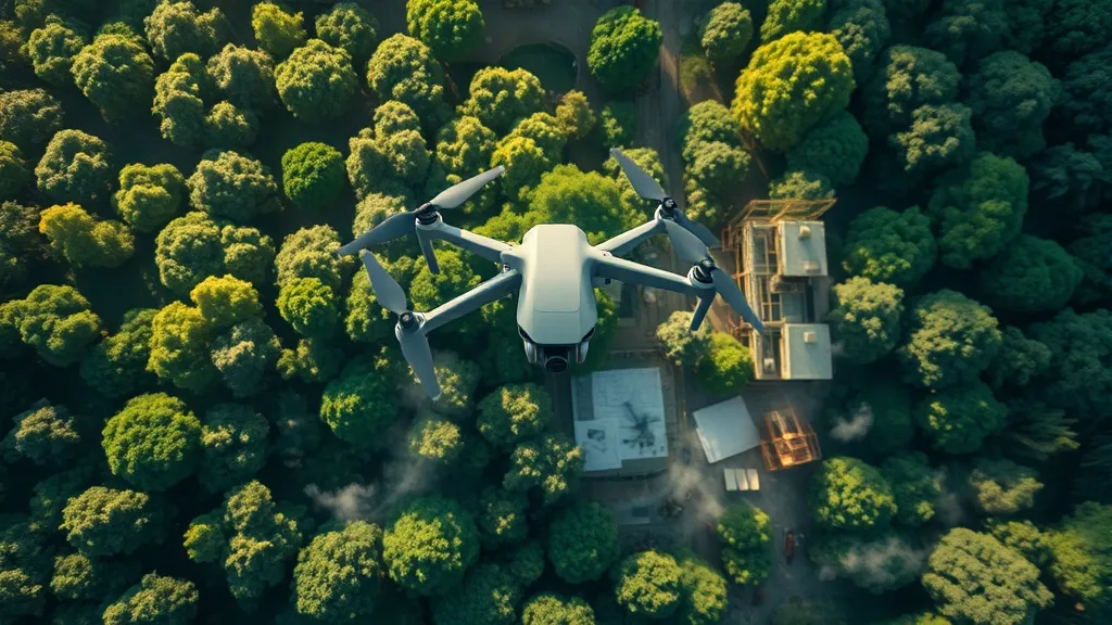
A New Lens on Nature: How Lidar is Transforming Environmental Conservation
Alright, so let’s talk about Lidar and how it’s shaking things up in the world of environmental conservation. You might be wondering, what the heck is Lidar? Well, it stands for Light Detection and Ranging, and it’s basically like a super high-tech flashlight that helps scientists see the world in 3D. Pretty cool, right?
With Lidar technology, conservationists can map forests, wetlands, and other natural habitats with crazy precision. Imagine being able to create detailed maps of tree heights, canopy structures, and even the ground beneath the foliage without having to hike through every inch of the forest. Seriously, it’s a game changer! It’s like having x-ray vision for Mother Nature.
- Mapping Biodiversity: Lidar helps identify different species in an ecosystem by analyzing the way light reflects off leaves and branches. This means researchers can spot changes in biodiversity over time, which is super important for understanding how climate change is affecting our planet.
- Monitoring Habitat Changes: Often, deforestation or habitat loss happens slowly, like that one friend who borrows your favorite hoodie and never gives it back. With Lidar, we can monitor these changes in real time, allowing for quicker responses to environmental threats.
- Restoration Efforts: When it comes to restoring damaged ecosystems, Lidar gives conservationists the intel they need to make informed decisions. They can see where to plant trees or how to restore wetlands more effectively. It’s like having a cheat sheet for nature!
But, let’s be real for a second. While Lidar is an incredible tool, it’s not a magic wand. It won’t solve all our environmental problems overnight. It’s just one part of a bigger puzzle that includes policy changes, community engagement, and good old-fashioned hard work. Still, it sure makes the job a lot easier!
In a world where environmental issues can feel overwhelming, Lidar shines a light on the path forward. It’s like having a GPS for conservation efforts, guiding us to the areas that need the most attention. So, who knew that a little light and lasers could help save the planet? Talk about a bright idea!
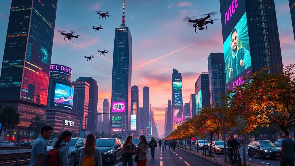
Navigating the Future: The Intersection of Lidar and Autonomous Technologies
So, let’s talk about Lidar and autonomous technologies. It’s kind of a big deal, right? I mean, when you think about it, we’re on the edge of something super exciting. The way Lidar is shaking hands with autonomous tech feels like a scene straight out of a sci-fi movie. You know, like when the robots start taking over, but in a good way. No Terminators here—just smart machines making our lives easier.
At the heart of this partnership is Lidar’s incredible ability to create detailed, 3D maps of the environment. It’s like giving our self-driving cars a pair of glasses that are way better than mine! With these maps, vehicles can understand their surroundings in real-time, making decisions faster than a squirrel crossing the street. And trust me, that’s pretty fast.
Imagine a world where Lidar-equipped cars can detect pedestrians, cyclists, and even those sneaky potholes before they become an issue. It’s already happening. Companies like Waymo and Tesla are leading the charge, integrating Lidar into their systems to enhance safety and efficiency. But here’s the kicker: it’s not just about cars. Think drones, robots, and even boats—all leveraging Lidar for navigation. The possibilities are endless!
- Enhanced Safety: Lidar technology drastically reduces the chances of accidents. It’s like having a super vigilant co-pilot who never takes a coffee break.
- Urban Planning: City planners can use Lidar data to design better public spaces, ensuring everything from bike lanes to green spaces is just right.
- Delivery Services: Drones delivering packages? Yes, please! With Lidar, they can navigate safely and efficiently, avoiding obstacles.
Still, some folks are a bit skeptical about the whole autonomous thing. I get it. There’s a lot to consider, like ethics, job displacement, and all that jazz. But I can’t help but feel optimistic. With Lidar, we’re not just talking about tech; we’re talking about a future where humans and machines work together to create smarter, safer environments.
As we move forward, the fusion of Lidar and autonomous tech is bound to redefine industries and perhaps even the way we live. So, buckle up! We’re in for a thrilling ride, and I can’t wait to see where this journey takes us. Just, you know, let’s not forget to keep our human touch in the mix.